


OUR SERVICES
Comprehensive Drone Solutions
From stunning aerial visuals to accurate 3D data and professional inspections, we deliver tailored solutions for a wide range of industries.
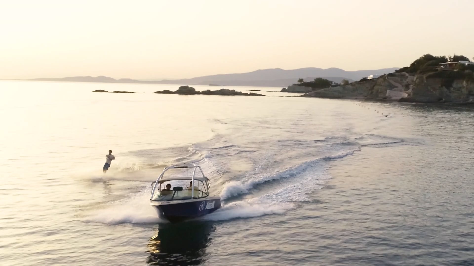
Cinematic aerial video and photography for real estate, advertising, events and commercial productions.


High-accuracy geospatial data, 3D models, orthophotos and point clouds for surveying, mapping and digital documentation.
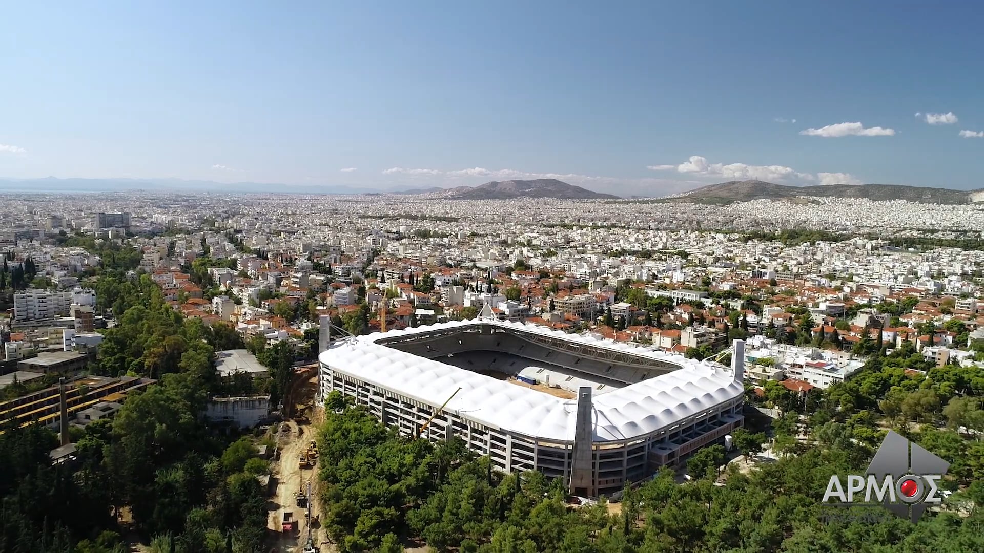
Aerial data and visuals for site surveys, progress monitoring, volumetric measurements and
as-built documentation.
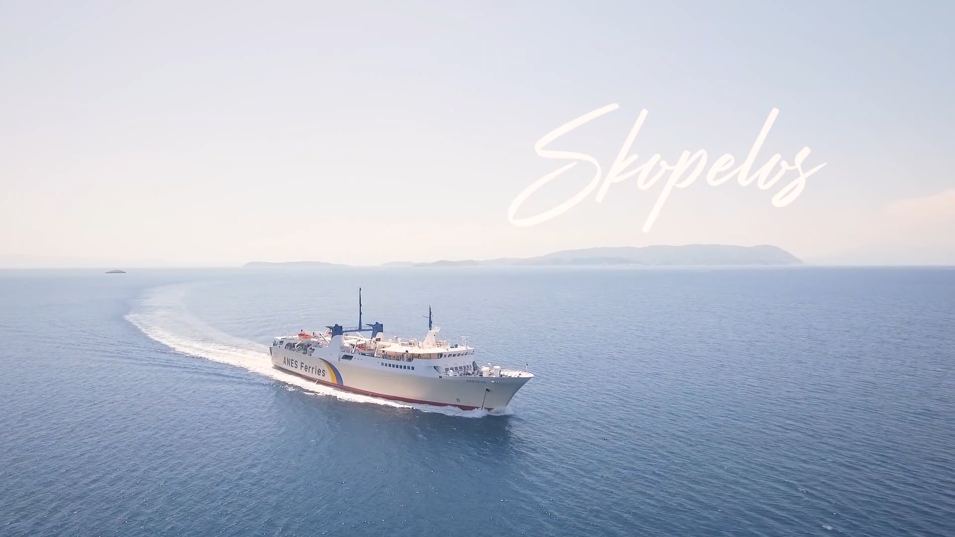
Aerial content and visual experiences for tourism, hospitality and destination marketing.
Safe, efficient and detailed inspections for buildings, infrastructure, energy assets and industrial facilities.
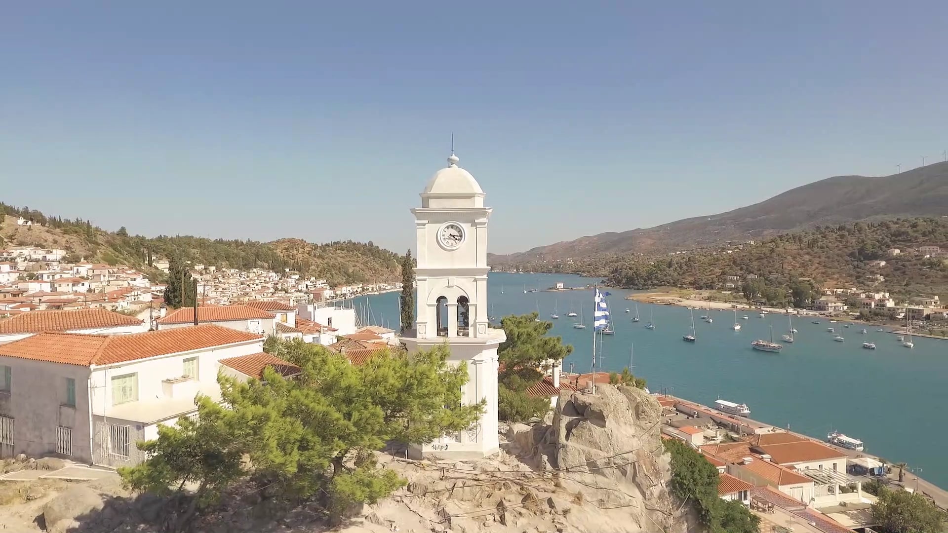
Accurate documentation and visualisation of historical sites and monuments for preservation, research and promotion.
Selected Projects
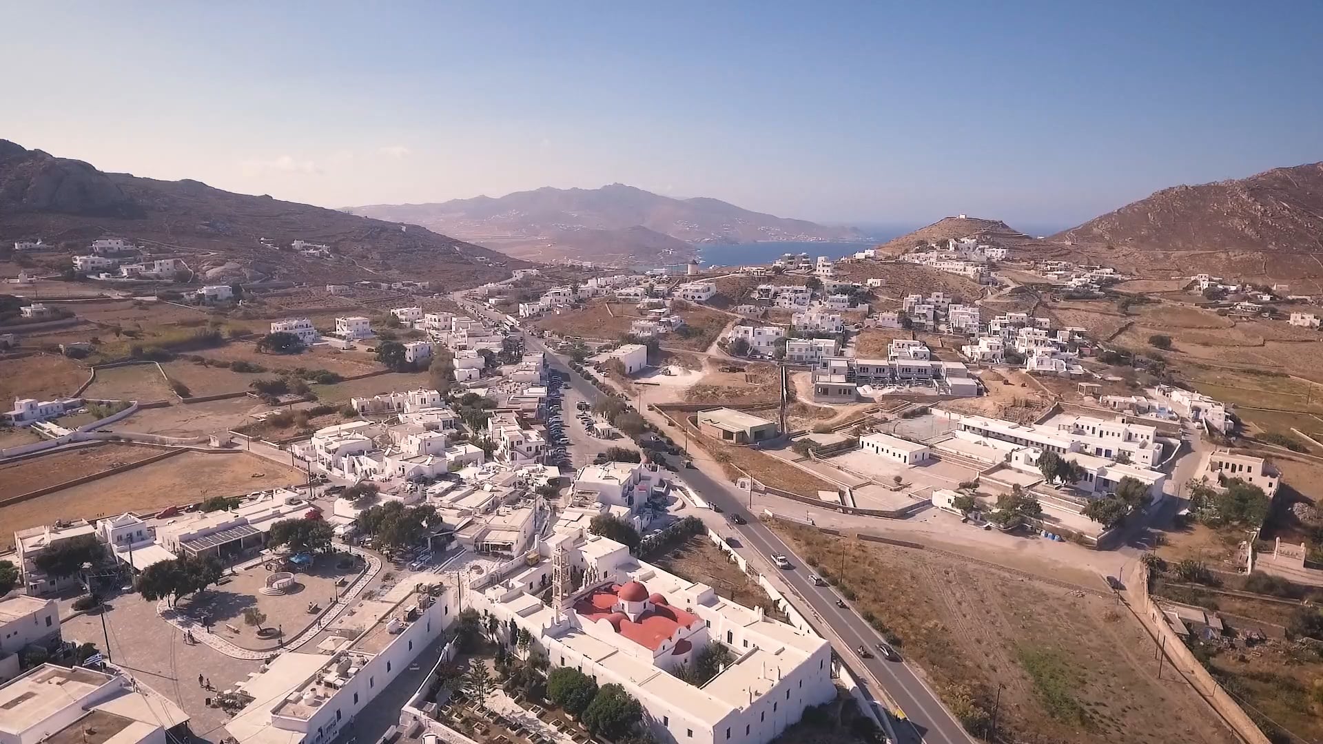
Destination
Showcase
Aerial Photography
& Video
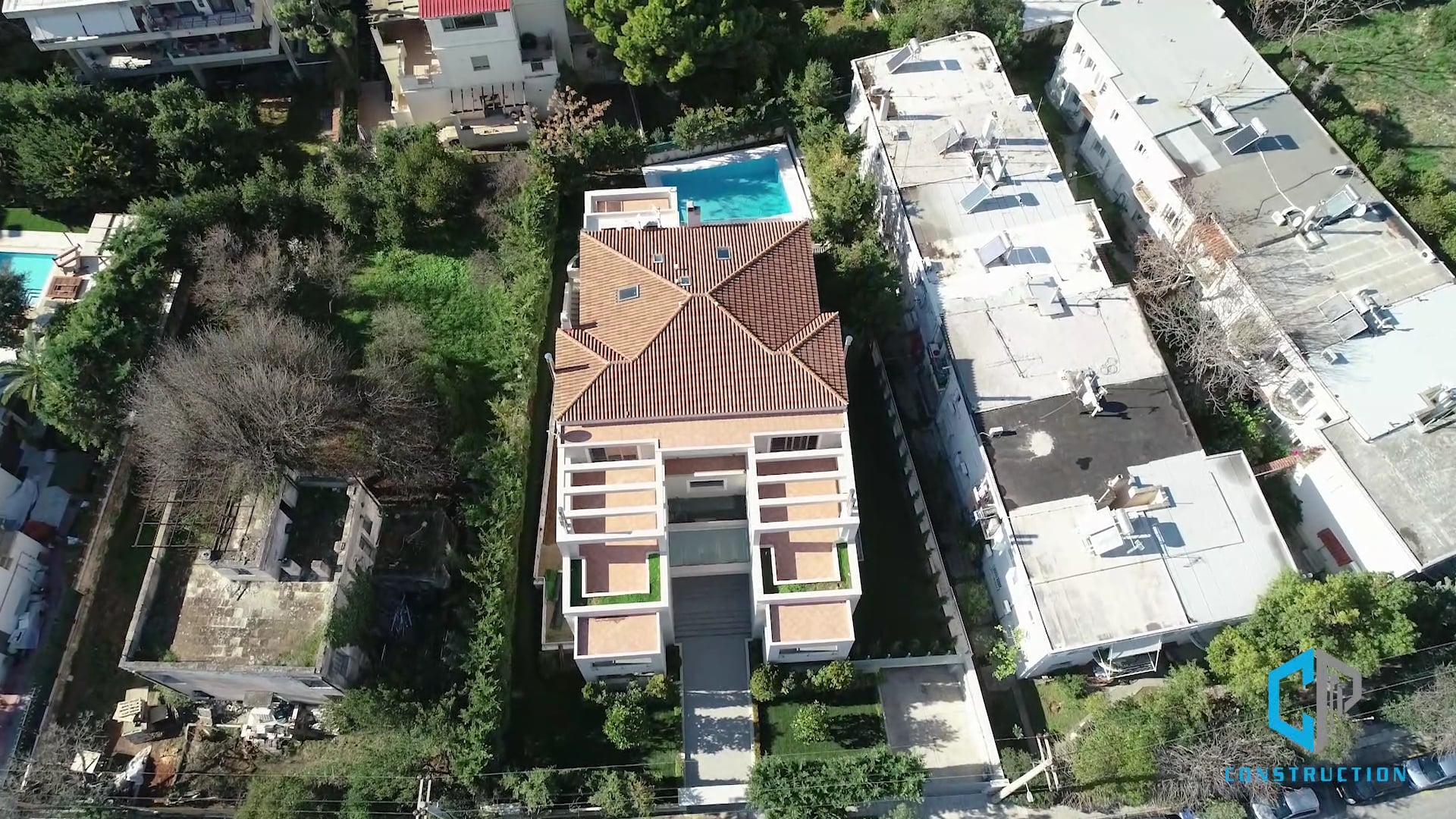
Residential Development
Construction Monitoring
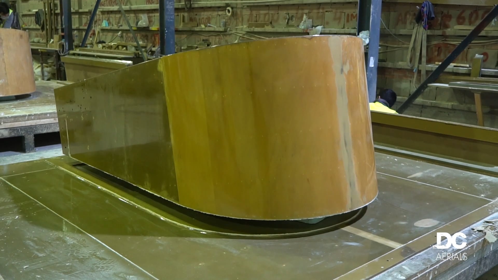
Stadium
Construction
Drone Inspection
Archaeological Site
3D Mapping & LiDAR
Tourism Promotion
Aerial Video
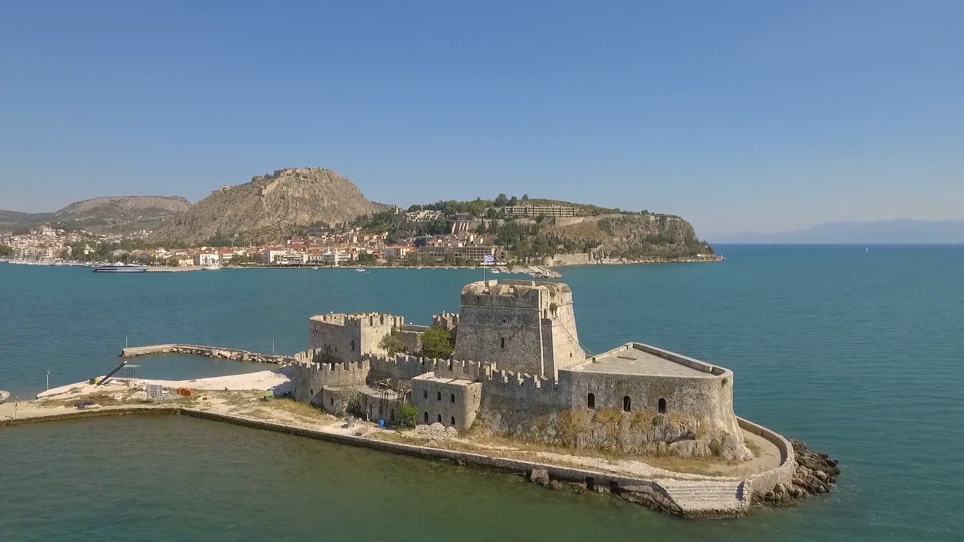
Historical Monument
Cultural Heritage
Proudly Worked With...


Certificates

HCAA Approved


